GIS Mapping for Location Intelligence
Skyward Apps has a Location Intelligence Practice with years of experience leveraging data from Geographic Information Systems (GIS) to create site-specific mapping applications.
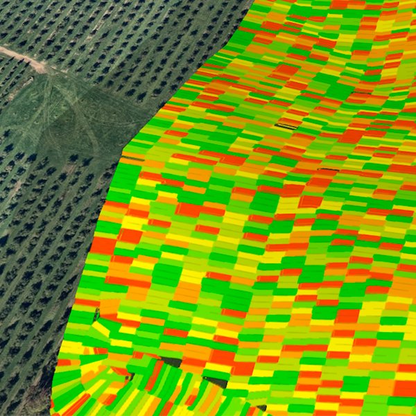
By combining geospatial and land-based snapshots, we build layered maps based on specific data sets. With each layer, you can see how different factors affect your location to make better decisions in managing assets and resources.
Skyward’s practice is built on more than 10 years of experience in precision agriculture, collecting and integrating GIS data for use by agronomists, equipment manufacturers and crop insurers. We offer comprehensive services around GIS including:
• Multi-source data collection and integration
• Layered mapping applications
• Spatial database design and implementation
• Mobile apps for real-time tracking and communication between office and field
• Interoperable software to connect systems across third parties

Integrating GIS mapping
Location intelligence is indispensable to industries from AgTech and natural resource
management to transportation and supply chain logistics. However, GIS maps are only as good as the data collected and what you do with it.
Our software developers, engineers and architects are experts in consolidating GIS data and making it usable by cross-functional teams and third parties. From centralized
sales portals to interactive mobile apps for real-time tracking, we have built applications that have made work easier and more profitable.


Why GIS users use Skyward
Skyward has earned the business and respect of global GIS users and leading tech firms not only for knowledge and skills, but for our collaborative and responsive approach to our work. See what it’s like to work with a technology team that’s as integral to your success as your own people.
Request a free consultation

